H2Olha uma cache
15-07-06
N 37º 05. 248'
W 008º 11. 914'


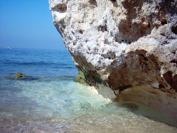
Esta é uma cache subaquática e foi
colocada na Praia Maria Luísa.
Como o objectivo da cache é convidar os geocachers a explorarem o
mundo submerso eu tentei torná-la o mais fácil possível. Com a maré
vazia ela está a cerca de 1- 1,5 m de profundidade e é possível ir
até ela a andar, com o braço bem esticado para o GPS não apanhar
água, de preferência já com a mascara/óculos de mergulho (para ver
onde é que está a por os pés) e com uma bóia para marcar o local.
Desta forma é possível voltar a terra ou ao barco e deixar o
GPS.
Depois disso é só mergulhar na zona da bóia e descobrir a
cache.
O problema de ir com a baixa mar é que se houver ondas (mesmo
pequenas) elas irão quebrar na zona da cache, o que incomoda
bastante e levanta a areia turvando a água.
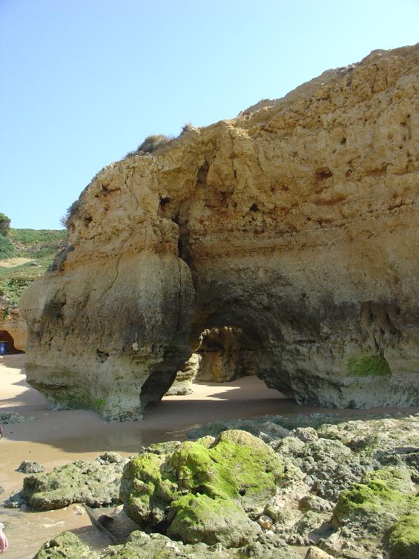
Durante a baixa mar aproveite para visitar as piscinas naturais
onde se pode observar alguma da fauna e flora
subaquática. Se tiver crianças elas irão adorar. Estas são as
coordenadas da maior mas existem várias (N 37º 05.270' W 008º
11.800' em baixo está o waypoint).
Espero que a encontrem mas ainda mais
importante é que se divirtam no mundo submerso.
Acesso:
Existem 2 entradas para a praia mas esta será a melhor.
N 37º 05. 389’ W 008º 11. 923’
No verão o estacionamento não é fácil e provavelmente terá de
deixar o carro mais no inicio da rua.
A
Cache:
Está num buraco lateral a cerca de 1 m do fundo
A cache está presa a um peso com 2 cabos e 1 mosquetão, NÃO É
NECESSÁRIO DESATAR NENHUM NÓ, BASTA APENAS ABRIR O MOSQUETÃO E
SOLTAR A CACHE DO PESO (ver fotos).


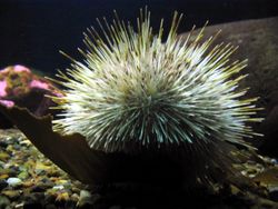
Quando estiver à procura
da cache, MUITO CUIDADO COM OS OURIÇOS, os
picos são muito afiados. Atenção onde põem as mãos e os pés.

QUANDO FECHAR A CACHE NÃO É
NECESSÁRIO APERTAR DEMASIADO!!!
Conteúdo inicial:
- Logboook
- Lápis
- Afia-lápis
- Borracha
- Stashnote
- 4 Bonecos (1 tubarão, 1 golfinho e 2 baleias)
- Geocoin Portuguesa ( Navegante )
http://www.geocaching.com/track/details.aspx?id=432566

This is a underwater cache and it’s placed in Maria Luisa
Beach.
The main goal of the cache is to invite geocachers to explore the
underwater world so I tried to make it easy. At low tide it’s 1 -
1,5 meters underwater and you can go there by walking with your arm
stretched so you don’t get your GPS wet ; it’s better to take with
you your mask (this way you can see were you are putting you feets)
and take a float to mark the spot. This way you can go back to land
or boat and leave the GPS there.
Than you just have to dive near the float and find the cache.
The major problem of going at the low tide is that if it is waves,
they will break near the cache spot and you will loose visibility
in the
water.
During the low tide you can visit the natural swimmig
pools where you can see some of the underwater fauna and flora.If
you have children they will love it. This are the coordenats of the
biggest one but there are
others (N 37º 05.270' W 008º 11.800' down below is the
waypoint).
I hope you find it,
but the most important is that you enjoy the underwater
world.
Access:
There are 2 entrances to the beach but this is the best one.
N 37º 05. 389’ W 008º 11. 923’
In summer it’s not easy to park so you probably will have to park
at the beginning of the road.
The cache:
It’s in a lateral hole at 1 m from the
bottom.
The cache is attached to a weight with 2 ropes and a carabiner;
IT’S NOT NEEDED TO UNFASTEN ANY KNOT, JUST OPEN THE
CARABINER.


During your search for the cache, BE very CAREFUL WITH THE
SEA-URCHIN, their spikes are really
sharpened. Pay attention where you put your hands and
feet.

When closing the cache you
don’t have to tight it too much!
Initial content:
- Logbook
- Pencil
- Sharpen-pencil
- Stashnote
- 4 Toys (1 shark, 1 dolphin, 2 whales)
- Portuguese Geocoin ( Navegante )
http://www.geocaching.com/track/details.aspx?id=432566