SK:
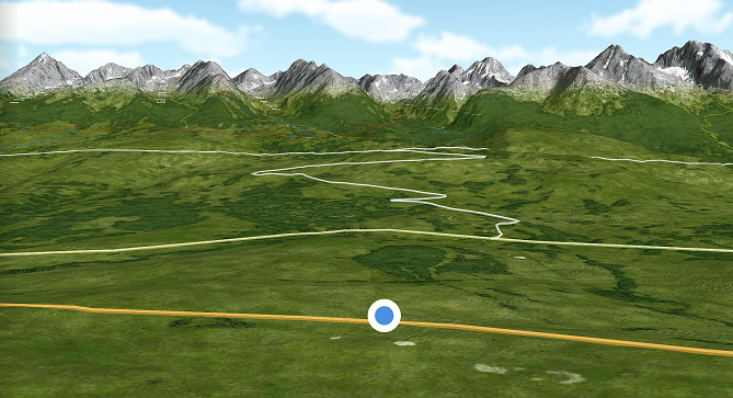
Vysoké Tatry sú najvyššie pohorie na Slovensku a v Poľsku a sú zároveň jediným horstvom v týchto štátoch s alpským charakterom. Sú geomorfologickou časťou Východných Tatier západne od Kopského sedla, ktoré ich oddeľuje od Belianskych Tatier. Na juhu hraničia s Podtatranskou kotlinou. Majú rozlohu 341 km² (260 km² na Slovensku a 81 km² v Poľsku)
EN:
The High Tatras are the highest mountain ranges in Slovakia and Poland and are the only mountain in these alpine-style states. They are the geomorphological part of the Eastern Tatras west of Kopský seat, which separates them from Belianske Tatras. In the south, it borders the Podtatran valley. They have an area of 341 km² (260 km² in Slovakia and 81 km² in Poland).

SK:
Nie je to len rýchla drive in keš za bod. Jej cieľom je aby si zastavil, odpočinul si na chvíľu a vychutnal si výhľad na naše hory. Sú nádherné ...
EN:
It's not just a quick drive in cache for a point. Its aim is to stop, rest for a while and enjoy the view of our mountains. They are wonderful ...