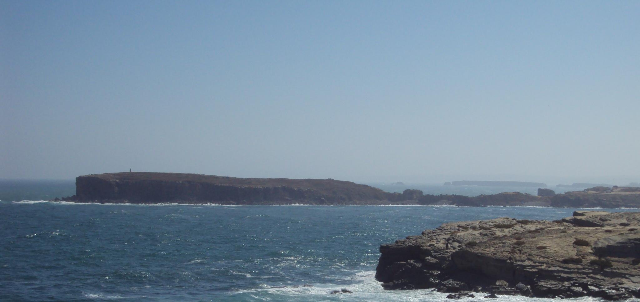
Papôa Volcanic breccia [Peniche] EarthCache
Papôa Volcanic breccia [Peniche]
-
Difficulty:
-

-
Terrain:
-

Size:  (not chosen)
Please note Use of geocaching.com services is subject to the terms and conditions
in our disclaimer.


Papôa Formation Volcanic breccia
The coastal landscape seen along the coast of Peniche is constituted by diverse well-defined geographically, by its favorable location, content, peculiarities or rarity, have high scientific, educational, cultural, scenic and geotouristic value. These sites, outcrops or landscapes, are important non-renewable Georesources and designate themselves as sites of geological interest or Geosites (J. Romão, 2009).
With this Earthcache we intend to show you one of those places, the outcrop of the Brecha da Papôa Formation, located on the northernmost Peniche peninsula, which stands out from the carbonate cliffs of the lower Jurassic.
The Papôa Formation Volcanic breccia is no more than an accumulation of volcanic material (pyroclastic debris) resulting from the sub-aerial deposition of material from a volcano. In this outcrop its possible to observe numerous fragments belonging to an ancient volcanic wall and they have a diverse nature, such as limestone, sandstone and still pink granite and gneisses, similar to those outcropping in Berlenga island and Farilhões islet. Involving the larger fragments, we can see another type of material, fine-grained, very altered, corresponding to a volcanic tuff, composed of a mixture of ash and volcanic bombs. In some volcanic bombs, you can still see some examples that have the ends twisted due to the rotational movement of the lava during his air course.
From the facts described, we can conclude that the outcrop represent a preserved volcanic cone, thanks to the collapse of a part of it, along two inferred parallel faults, with NW-SE direction. The faults kinematics have caused a vertical subsidence of the block, origin a graben-type depression. In the figure below, you can see a block-diagram of how everything should have happened. It's also possible to conclude that the intensity of the explosions, during some eruptions, was quite strong, due to the presence of Variscan blocks with a considerable size. The eruptions must have been contemporary with others regional volcanic events, such as the "Maciço de Sintra" and the "Complexo Vulcânico de Lisboa" and with a global event, the K-T boundary.

Field Work
In order to claim this Earthcache, go to the initial coordinatesand correctly answer the following questions by sending them to our e-mail:
1. What is the maximum height of the valley carved into the breccia.
2. Looking at the walls that support the bridge, indicate the rangesize of the fragments from the ancient volcanic walls, strip off during the eruptions: a) [metric] b) [centimeter] c) [millimeter].
3. Looking for NE and taking into account the limits limestone/breccia,estimate the approximate width of the block that fell down.
Any log performed without permission will be deleted!
References:
Marshak, S. 2005. Earth: Portraid of a Planet., W.W. Norton & Company, Inc., New York.
Romão, J. 2009. Património geológico no litoral de Peniche: geomonumentos a valorizar e divulgar., GEONOVAS nº 22.
Zbyszewski, G., Ferreira, V., Andrade, F. & Oertel, G. 1960. Carta Geológica 26-C (Peniche) na escala 1:50000. Serviços geológicos de Portugal.
Azerêdo, A. Personal transmition.
A special thanks to Professor Paulo Fonseca (FCUL) for reviewing this Earthcache.

Brecha vulcânica da Formação da Papôa
A paisagem litoral observada ao longo da costa de Peniche é constituída por estruturas geológicas, bem delimitadas geograficamente que, pela sua favorável localização, conteúdo, pecularidade ou mesmo raridade, apresentam elevado valor científico, educativo, cultural, paisagístico e geoturístico. Estes sítios, afloramentos ou paisagens, constituem importantes georrecursos não renováveis e designam-se como Locais de Interesse Geológico ou Geossítios (J. Romão, 2009).
Com esta earthcache pretendemos mostrar-vos um desses locais, o afloramento respeitante à Formação da Brecha da Papôa, situado na parte mais setentrional da península de Peniche, que se destaca das arribas carbonatadas do Jurássico Inferior.
A Formação da Brecha da Papôa não é mais do que um agregado de material vulcânico (piroclástico) resultante da deposição sub-aérea de material expelido por um vulcão. No afloramento é possível observar inúmeros fragmentos pertecentes as paredes da antiga chaminé vulcânica, fragmentos esses de natureza bastante diversificada, como calcários, arenitos e ainda granitos róseos e gneisses similares aos aflorantes na Berlenga e nos Farilhões. A envolver este material de maior dimensão, podemos observar outro tipo de material, de granularidade mais fina, bastante alterado, correspondente a um tufo vulcânico, composto por uma mistura de cinzas, bagacina e bombas vulcânicas. Nas últimas é possível observar alguns exemplares que apresentam as extremidades torcidas devido ao movimento rotacional da lava aquando do seu percurso aéreo.
Dos factos descritos, podemos concluir que o afloramento da brecha vulcânica da Papôa representa uma antigo cone vulcânico, preservado graças ao colapso de uma parte do mesmo ao longo de duas falhas paralelas, inferidas, de rumo NW-SE. O movimento das falhas teria provocado o abatimento quase vertical de um bloco de terreno, tendo dado origem a uma depressão do tipo graben. Na figura abaixo, pode-se observar um esquema de como tudo deverá ter acontecido. É possível também concluir que a intensidade das explosões, durante algumas erupções, tenham sido bastante fortes, devido à presença de blocos de dimensões consideráveis. A erupção considerada terá sido contemporânea de outros eventos vulcânicos a nível regional, como o Maciço de Sintra e o Complexo Vulcânico de Lisboa e também a nível global, na passagem do Cretácico ao Terciário (fronteira K/T).

Trabalho de Campo
De forma a poderem fazer o log desta Earthcache, terão que se deslocar até às coordenadas indicadas e responder correctamente às seguintes questões, enviando as resposta para o e-mail indicado no nosso perfile:
1. Qual a altura máxima do vale escavado na brecha.
2. Observando as paredes que suportam a ponte, indique qual a gama de dimensão dos fragmentos da antiga parede vulcânica, arrancados durante as erupções: a) [métrica] b) [centimétrica] c) [milimétrica].
3. Olhando para NE e tendo em consideração os limites geológicos entre o calcário e a brecha, estime a largura aproximada do bloco que abateu.
Qualquer log efectuado sem a devida autorização será apagado!
Referências:
Marshak, S. 2005. Earth: Portraid of a Planet., W.W. Norton & Company, Inc., New York.
Romão, J. 2009. Património geológico no litoral de Peniche: geomonumentos a valorizar e divulgar., GEONOVAS nº 22.
Zbyszewski, G., Ferreira, V., Andrade, F. & Oertel, G. 1960. Carta Geológica 26-C (Peniche) na escala 1:50000. Serviços geológicos de Portugal.
Azerêdo, A. Transmissão pessoal.
Um obrigado especial ao Professor Paulo Fonseca (FCUL) pela revisão do texto desta Earthcache.
Additional Hints
(No hints available.)