This is intended as a straightforward EarthCache that examines the effects of man building on flood plains and interfering with the natural geology of the the area. Man is trying to re-balance the problem they have created and this brings you to see one such place where this has occured. It requires only some simple observations that can be made at GZ and answers can be easily sent whilst you are at GZ - no geology degree or thesis writing required!
Flood Risk - The Problem
Wotton Brook is a tributary of the River Severn. A tributary is simply a river or stream flowing into a larger river. Wotton Brook flows off the Cotswold escarpment, through Hucclecote and into Barnwood Park before heading onwards through Gloucester into the River Severn. Although it may not look that big, Wotton Brook is classed as a main river due to its flood risk status.
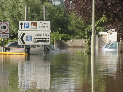
Scientists have predicted that one of the effects of climate change will be changes to local rainfall patterns. Rainfall events will increase in intensity, frequency and duration - winters are predicted to be wetter and summers drier. Therefore better management of surface water through 'sustainable urban drainage systems' (SuDS) techniques will reduce the risk of flooding.
Flood Risk - The Solution
In order to prevent flooding, the Barnwood Park balancing pond was created. In the open countryside heavy rainfall soaks into the ground and is released slowly into ditches, streams and rivers. In urban areas the hard surfaces such as roofs and roads result in rainfall rapidly arriving in the drainage system - this can cause widespread flooding. The Barnwood Balancing Pond was constructed to attenuate the extra runoff created by housing developments in the surrounding area and is designed to reduce downstream volumes and prevent flooding. This is achieved by storing rainfall here during heavy rainfall events.
The Wotton Brook is uninterrupted by the balancing pond which discharges into it. After heavy rainfall water drains from roofs and roads and is directed through gullies into the drainage network. The first full flush will flow directly into the Wotton Brook. When the water exceeds the capacity of the control structure the water is diverted into the balancing pond. The balancing pond has a capacity to hold approximately 20,000 cubic metres of water, which is the equivalent of 8 Olympic sized swimming pools.
Methods of Holding Water
There are generally two types of water containment in lakes, reservoirs or ponds. Usually, when the water board builds a reservoir or the local council builds a pond they try to do it in an area where there is a solid bedrock that will prevent the water from seeping into the ground - otherwise if the base rock was soft shales or large areas of soil, the water would soon all disappear. If there is no natural bedrock to do this, it may be added artificially - you have no doubt seen concrete ponds in parks.
When constructing a balancing pond such as this the water could be held in the pond until the flood risk has disappeared and then slowly fed back into the water supply, or it could be allowed to naturally seep into the ground as it would have done before the urban construction. In the area around rivers the water often naturally seeps into the soil but if there is a large number of houses and roads built over the natural ground the water is channelled into drains and pushed to the river very quickly - much more quickly than nature intended. Therefore it might be beneficial to allow the water from a balancing pond such as this to naturally seep into the ground rather than purely relying on it feeding back into the river. However, this shouldn't be assumed, as it may have other adverse effects if the ground becomes marshy and unstable.
Logging Requirements - Questions to Answer
Please send into your answers at the same time as logging your find. This is a simple EarthCache which you can easily answer at GZ - if you feel you need to go home to send in your answers you are probably writing too much! As this is an EarthCache there is nothing hidden here to find, please don't search. Instead, you must answer a number of questions in order to log your find. If you do not send in any answers, you risk your log being deleted.
1 - Please comment on the amount of rainfall on the day you visited and the proceeding days
2 - Is there water currently in the balancing pond? If so how much? Is this what you would expect from the weather conditions over the last few days? If there is no water does it look as though there has been any water recently (mud in the bottom of the pond for example)? Please note, since this EarthCache was published, a permanent wildlife pond within the 'balancing pond' has been added - ignore that, it is there all the time.
3 - Examine the soil and the rock that is used in the construction of this balancing pond. Do you think the pond has been designed to allow water to naturally seep away into the ground or has it been designed to hold the water until it can be fed back into river? Comment on the properties of the rocks/soil in the bottom of the pond (or the sides if it contains water).
4 - What are some of the other benefits the creation of the pond provides to the local wildlife? The information board may help.
5 - A photo of yourself/GPSr with the balancing pond in the background would assist with question 1 and provide good evidence of your visit. This is however an optional task.
Thank you for visiting Barnwood Balancing Pond