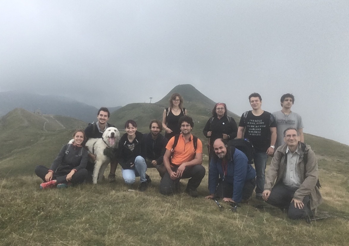
Questa cache è stata nascosta sul confine tra Emilia-Romagna e Toscana a ricordo dell'evento GEOmellaggio Toscana🤝Emilia-Romagna 1° incontro, per celebrare l'amicizia e tutto ciò che condividiamo sui due versanti dell'Appennino.
This geocache has been hidden on the border between Emilia-Romagna and Tuscany during the event GEOmellaggio Toscana🤝Emilia-Romagna 1° incontro, to celebrate our friendship and everything we share on both sides of the Apennines.
Il confine tra Toscana ed Emilia-Romagna, lungo più di 200 km, coincide in buona parte con lo spartiacque appenninico e con la Grande Escursione Appenninica. Prima dell'Unità d'Italia segnava il confine tra alcuni degli antichi stati, come il Ducato di Parma e Piacenza, il Ducato di Modena e Reggio, lo Stato Pontificio, il Granducato di Toscana e il Ducato di Lucca. I confini erano spesso confusi, l'apertura della strada Giardini-Ximenes (l'odierna statale dell'Abetone) intorno al 1780 fu l'occasione per definire con chiarezza il confine tra il Granducato di Toscana e il Ducato di Modena e Reggio con una serie di cippi numerati lungo tutto il crinale. A pochi metri dalla cache si trova uno di questi cippi, datato 1793.
In giornate particolarmente limpide è possibile vedere buona parte dell'Italia centro-settentrionale, dall'arco alpino al Tirreno e all'Adriatico fino alle prime montagne del Lazio (così almeno ho trovato su internet, in giornate nebbiose è già tanto se si vede il Corno alle Scale).
La cache è nascosta simbolicamente in prossimità del confine, secondo Google Maps siamo in Emilia-Romagna, secondo openstreetmap siamo in Toscana, a voi la scelta. Il contenitore è di plastica e permette lo scambio di piccoli oggetti. Buona ricerca!
The border between Tuscany and Emilia-Romagna, more than 200 km long, coincides largely with the Apennine watershed and the Great Apennine Excursion. Before the Unification of Italy it marked the boundary between some of the ancient states, such as the Duchy of Parma and Piacenza, the Duchy of Modena and Reggio, the Papal States, the Grand Duchy of Tuscany and the Duchy of Lucca. The boundaries were often confused, the opening of the Giardini-Ximenes road (today's Abetone state road) around 1780 was an opportunity to clearly define the border between the Grand Duchy of Tuscany and the Duchy of Modena and Reggio with a series of numbered stones along the ridge. One of these stones, dated 1793, is situated a few meters from the cache.
On particularly clear days you can see a good part of central-northern Italy, from the Alps to the Tyrrhenian and Adriatic up to the first mountains of Lazio (so at least I found on the internet, in foggy days is already so much if you see the Corno alle Scale).
The cache is symbolically hidden near the border, according to Google Maps we are in Emilia-Romagna, according to openstreetmap we are in Tuscany, the choice is yours. The container is made of plastic and allows the exchange of small objects. Happy geocaching!