The Charles L. Sommers National High Adventure Base canoe departures occur at Moose Lake but within the base private property. This EarthCache’s coordinates at Moose Lake are located in a public area by the United States Forest Service canoe launch. It is at the Moose Lake sign in the parking lot.
This public access to Moose Lake is about 20.2 miles northeast of downtown Ely. Take Highway 169 east (becomes Lake County 18) aka Fernberg Road. Turn left (north) on Moose Lake Road. Please do not enter the private Boy Scouts youth facility, or any private residences.
As geocacher, you may reach this site during any season, including winter. You assume all risk and responsibility for yourself and your companions.
Task 1 - GEOLOGIC TIME OF MINNESOTA BWCAW GLACIAL LAKES:
Your first task as geocacher is to understand when and how the glacial lakes were created within the Geologic Time of the ongoing creation of Earth. You will write any 1 of the 5 categories when glacial lakes were formed in Northeastern Minnesota.
Geologic Time Scale has 5 categories from large to small: Eon, Era, Period, Epoch, and Age.
During the Phanerozoic Eon, in the Cenozoic Era, the Quaternary Period began about 2 million years ago. During this period, the climate fluctuated between warm periods and cold “Ice Ages”. Large snow accumulations created the large continental “Laurentide Ice Sheet”. Time-frame was tens-of-thousands of years with slow advance of ice sheets across the northern tier of the United States. Minnesota had at least four episodes of major ice: Nebraskan, Kansan, Illinoian, and Wisconsinan at 75,000 to 12,000 years ago. Of the Wisconsin episode, there were four substages, with the youngest being Cary and Mankato. The Pleistocene Epoch was when glacial ice covered Minnesota.
Glaciation altered the topography of Minnesota to what it is today. Pre-glacial drainage of rainwater or meltwater was mostly to the ocean. Post-glacial, precipitation remained in many lakes which acted as basins to store water. Most of these lakes in Minnesota were formed within the Cary and Mankato drifts. Highlands split the ice sheet into lobes. Valleys localized the flow. Some stagnated ice was more difficult to melt. Sediments were deposited around these ice blocks. When they melted, depressions remained in the landscape. They filled with snowmelt to produce kettle lakes. Glacial lakes thus formed as ice sheets melted into sediment-rich melt water and drainage was blocked or limited. As Minnesota had overlapping glacial movements at both the northeast and northwest, lakes reside in ground and terminal moraine regions.
Task 2 - NORTHERN TIER LAKE MONITORING PROGRAM:
Your second task relates to steps being taken to preserve the health of glacial lakes. You will do a simple observation of the lake water or ice and give your opinion of its health.
The purpose of the Lake Monitoring Program is to detect trends in water clarity and quality, and to identify signs of degradation to a lake. Volunteers in crews canoe to selected lakes in Northern Minnesota and Northwestern Ontario. They sign up to collect water transparency data using a white Secchi Disk and a calibrated line. The disks are lowered into each lake, and the depth at which it is barely visible is noted on worksheets. The lake name, location on the lake, and depth at which the disk can be seen are recorded on a card.
These collected data lead to an assessment of the amount of suspended material in the water (which is often algae). Long term monitoring and analysis of these valuable data allow governmental agencies, scientists, and scholars to detect trends in water quality and signs of degradation to a lake. Here at the lakes, volunteers gain from their community service by learning about water quality and how it changes, so that they may promote better health for lakes which in turn benefit all and the Earth.
Task 3 – CANOE ROUTES THROUGH MANY GLACIAL LAKES:
Your third task relates to the vast numbers and locations of lakes. You will count lakes in a piece of the magnitude and appreciate the magnificence of nature. Also, you will use easy navigation skills to move with nature that may prevent your getting injured or lost. 
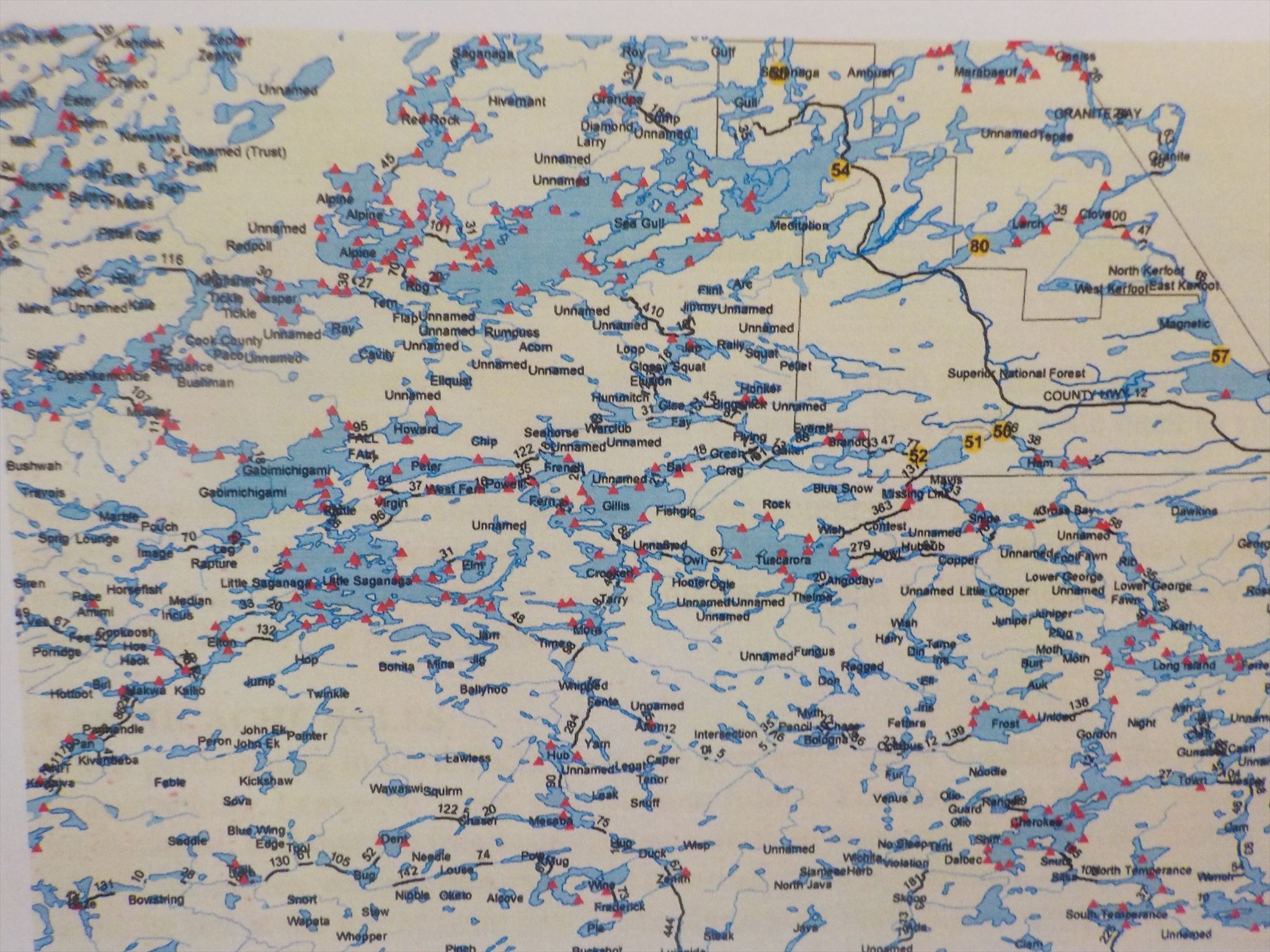
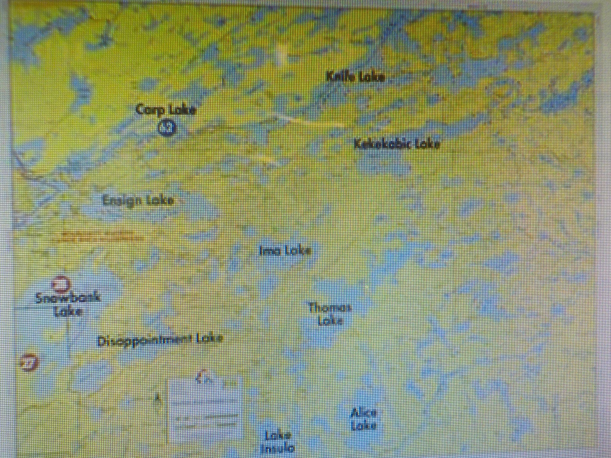
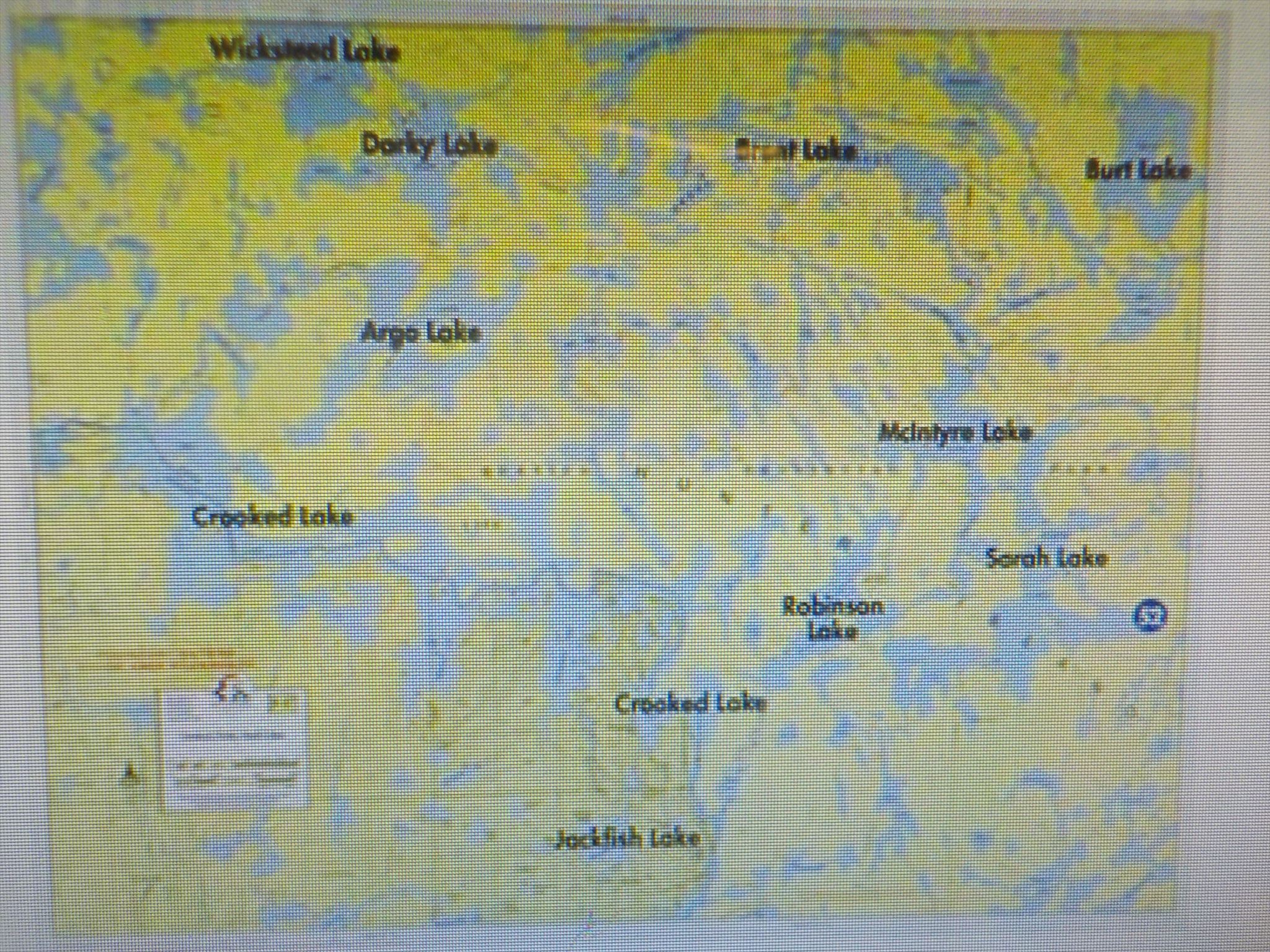
The maps above (Northern Tier & Voyageur 7) show a section with the very many lakes in the Boundary Waters Canoe Area Wilderness. Listed below are 5 examples of BWCAW routes from the Charles L. Sommers Wilderness Canoe Base with entry point on Moose Lake. Maps below do not correspond to the listed Routes but are included to show examples of the extensiveness of the lakes system.
Bear Loop Route (55 miles):
Moose Lake, Newfound Lake, Splash Lake, Ensign Lake, Ashigan Lake, Gibson Lake, Cattyman Lake, Jordan Lake, Ima Lake, Hatchet Lake, Thomas Lake, Fraser Lake, Gerund Lake, Ahmakose Lake, Wisini Lake, Strup Lake, Kekekabic Lake, Pickle Lake, Spoon Lake, Bonnie Lake, Knife Lake, Carp Lake, Birch Lake, Sucker Lake, Newfound Lake, Moose Lake.
Grand Portage “Voyageurs” Route (125 miles):
Moose Lake, Newfound Lake, Sucker Lake, Birch Lake, Carp Lake, Melon Lake, Seed Lake, Knife Lake, Ottertrack Lake, Swamp Lake, Saganaga Lake, Granite River, Gneiss Lake, Granite Bay, Clove Lake, Pine River, Gunflint Lake, North Lake, Height of Land Portage, South Lake, Rat Lake, Rose Lake, Rover Lake, Watap Lake, Mountain Lake, Fan Lake, Vaseux Lake, Moose Lake, North Fowl Lake, South Fowl Lake, Pigeon River, Grand Portage, Lake Superior.
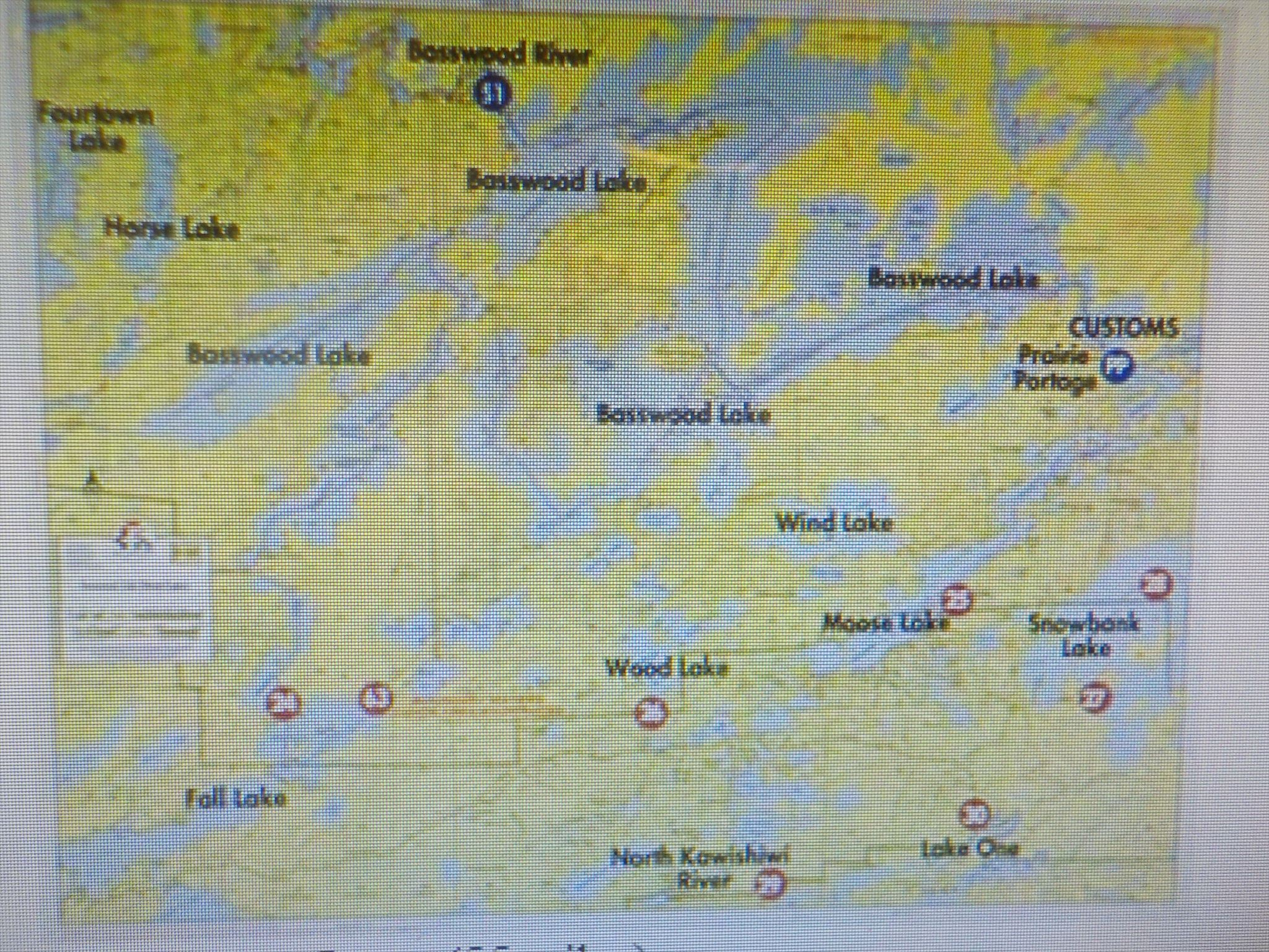
Horse River Loop (55 miles)
Moose Lake, Wind Lake, Basswood Lake, Indiana Lake, Good Lake, Basswood Lake, Unnamed Creek, Tin Can Mike Lake, Horse Lake, Horse River, Basswood River, Basswood Lake, Wind Lake, Moose Lake.
Height of Land Route (135 miles)
Moose Lake, Newfound Lake, Sucker Lake, Birch Lake, Knife Lake, Ottertrack Lake, Saganaga Lake, Granite River, Gneiss Lake, Cover Lake, Magnetic Lake, Gunflint Lake, North Lake, Gunflint Lake, Magnetic Lake, Cove Lake, Gneiss Lake, Granite River, Saganaga Lake, Ottertrack Lake, Knife Lake, Birch Lake, Sucker Lake, Newfound Lake, Moose Lake.
Scenic Lakes Loop (70 miles)
Moose Lake, Newfound Lake, Sucker Lake, Birch Lake, Carp Lake, Seed Lake, Knife River, Knife Lake, Ottertrack Lake, Ester Lake, Hanson Lake, Cherry Lake, Topaz Lake, Amoeber Lake, Knife Lake, South Arm Knife Lake, Eddy Lake, Kekekabic Ponds, Kekekabic Lake, Pickle Lake, Spoon Lake, Dix Lake, Skoota Lake, Missionary Lake, Trader Lake, Vera Lake, Ensign Lake, Splash Lake, Newfound Lake, Moose Lake.
EARTHCACHE LOGGING TASKS:
To receive credit for this EarthCache, you must complete these 3 Logging Tasks.
1.Write any 1 category when during the Geologic Time scale you think the hundreds of glacial lakes near this EarthCache were likely created.
On your own, if you want to learn more about “Geologic Time”, go to Geological Society of America’s www.earthcacheacademy.org for a free online course with pre- and post-tests.
2. At the coordinates at Lake Moose, observe the water or ice.
Write the date, time, and what you saw. Maybe describe the level, color, depth of transparency, extent of opaqueness, suspended material in water (e.g., algae), movement, geological structures, etc. Write what you think about the good or bad health of the lake based on what you observed.
On your own, you may choose to volunteer to protect Earth’s lakes from degradation.
3.a) Pick one of the 5 canoe routes listed above as examples for this EarthCache. Count how many lakes are on your chosen route (some may be more than once). Trace on any provided map, or use a map of your own, at least 3 of the lakes. Write which route you picked.
3.b.) Using a compass at the coordinates at Lake Moose, find in which direction (e.g., cardinal points of N, NE, E, SE, S, SW, W, NW) is any one of your lakes. Write the cardinal point direction, plus any distinguishing physical feature(s) you see to guide you if you were in a canoe.
On your own, choose to become more proficient at map & compass use, so that you move in the outdoors as part of nature, protecting yourself from injury or getting lost.
It is not necessary for you to seek outside sources to complete these tasks; all information can be found here, or at the physical site.
Email your answers to me, separately from your log, which you may post right away as a "Find". If there is a problem, or if you have a question, then I will write back to you.
Enjoy continuing to learn about geology in your country and in our world. Plus, please take time to read about academic research that has been done to preserve our geological environment. And think about and share innovative ideas to promote and practice sustainability for our planet Earth.
EARTHCACHE RULES:
When participating in EarthCache, you, the geocacher, agree to adhere to the principles of geocaching, Leave No Trace, and Outdoor Ethics. You also agree that the site must not be damaged, and that the fragile ecosystems must be respected. EarthCache visitors collect memories, not samples, from these virtual sites. No physical caches or other items are to be left at the EarthCache site. Learn about your Earth’s geology, protect it, and have fun.
MINIMAL ECOLOGICAL IMPACT ON THE BOUNDARY WATERS:
This EarthCache not only celebrates the geological splendor of this Northeastern Minnesota region, but reminds geocachers of the commitments by the Federal Government and the Northern Tier High Adventure Base to preserve and sustain these fragile resources of our Earth.
The Boy Scouts of America (BSA) NORTHERN TIER in Ely, Minnesota, is just one of four high adventure bases in the nation. Just as the BSA has a strong, century-old foundation in its Scout Oath and Scout Law, this Minnesota gateway has a strong, millions-years-old geological foundation.
EarthCaches also celebrate three other high adventure bases:
PHILMONT SCOUT RANCH in New Mexico (GC56VYB)
SUMMIT BECHTEL RESERVE in West Virginia (GC4KE2X)
FLORIDA SEA BASE in Florida (GC6A0NH)
Try to find time to visit these EarthCaches to experience a bit of how high adventure expeditions affect youth and geocachers alike. Outdoor challenges shape youth and teach them about themselves. High adventure EarthCaches unveil geological magnificence and teach you about your Earth. Both activities emphasize the sustainability of our fragile environment.
SOURCES:
Fleming, June (2001). Staying Found-The Complete Map and Compass Handbook, 3rd Ed. The Mountaineers Books: Seattle, WA. Especially read Chapter 7 “Looking to Nature” pp 97-111, and Chapter 11 “Routefinding on Snow” pp 141-148.
Jacobson, Cliff (2000). Boundary Waters Canoe Camping, 2nd Ed. The Globe Pequot Press: Guilford, CT. Especially read Chapter 3 “A Maze of Finger Lakes, Portage Trails, and Confusing Bays!”
Jennings, C. (2011). Cenozoic glaciation of Minnesota. Powerpoint lecture presented at Hamline University.
Krippner, Mark (2011). The Glacial Landscape of Minnesota, Quaternary Geology ES 767, November 2011.
Lusardi, B.A. (1997). Minnesota at a glance: quaternary glacial geology. Retrieved October 1, 2011 from http://www.d.umn.edu/~pmorton/4110/notes/001_Mn_Quaternary.pdf.
Northern Tier National High Adventure Program 2012 Expedition & Route Planning Guide, pp. 15-35.
Ojakangas, R., Matsch, C. (1982). Minnesota’s Geology: University of Minnesota Press.
Morey, G.B. & Dahlberg, Henk (1995). Geology of Minnesota: A Guide for Teachers. State of Minnesota, Department of natural Resources: St. Paul, MN.
1995http://www.voyageurmaps.com/map7zoom.html (accessed and posted Dec. 24, 2016).