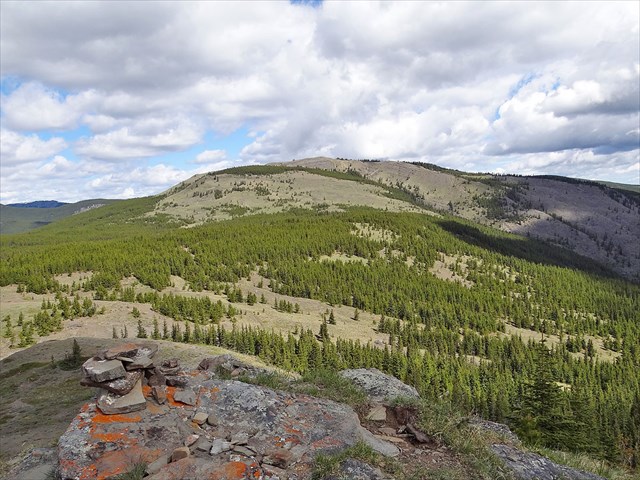
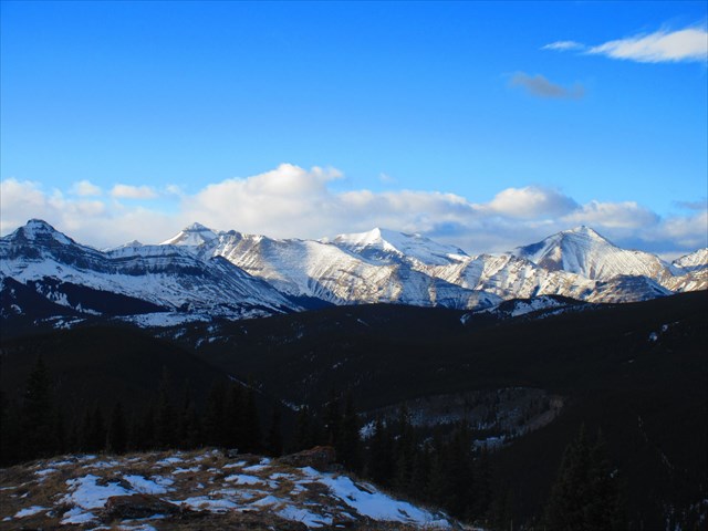
This geocache is a small lock and lock container located on the summit of Volcano Ridge, at an elevation of about 2,127 meters. Expect a mostly on-trail hike of at least 15 kilometers, with an elevation gain of about 600 meters. The summit provides incredible 360 degree views from peaks to Calgary!
Volcano Ridge from South Volcano Ridge:

Note: Highway 546 is closed west of the Sandy McNabb Campground between December 1 and May 14.
The nearest parking is at the Gorge Creek parking area. Take the Gorge Link Trail around to Gorge Creek. From here, you can choose to hike up the trail up the drainage (called the 'Volcano Ridge Trail' on the map below), or the shorter but slightly more strenuous South Volcano Ridge trail. I'd recommend the South Volcano Ridge Trail on ascent and descent because it's shorter than the alternative. Click here for a description of the trail up South Volcano Ridge. No matter the route you choose, hike to a major junction (waypoint provided) and head up the nice trail to the summit of Volcano Ridge. The views keep getting better and better until it opens up to 360 degree views at the summit!
Good luck, have fun and don't forget your camera!
Gillean Daffern's Trail Map:

Part of the 360 Degree Views!

** Cyrnfr eruvqr jryy! ** Va n fznyy ebpx jnyy whfg abegu bs gur fhzzvg pnvea. Orarngu n fznyy bireunat naq pbirerq ol znal ebpxf. Frr fcbvyre cubgbf vs arrqrq.