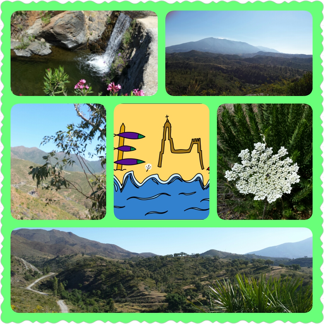
Et. 32-02 GR 249- GSM. Ojén-Mijas Traditional Cache
Et. 32-02 GR 249- GSM. Ojén-Mijas
-
Difficulty:
-

-
Terrain:
-

Size:  (micro)
Please note Use of geocaching.com services is subject to the terms and conditions
in our disclaimer.

|
"Pueblos blancos y arracimados, hilos de olivar, macizos inescrutables y bosques cerrados, lagunas en calma e hilos de agua briosos, ...La Gran Senda de Málaga es la mejor propuesta a pie para descubrir todos y cada uno de los espectaculares rincones de la provincia: interior y litoral, deporte, cultura y naturaleza.
A lo largo de sus más de 650 km y 35 etapas, la Gran Senda de Málaga recorre 9 comarcas, 50 municipios y circunda 13 espacios naturales protegidos. A través de ellos podrás conocer la esencia de Málaga.
Algunos miembros del Equipo Malagueño se han encargado de marcar esta senda con cachés.
Esperemos que la disfrutéis.
|
| -----------------------------------------------------------------------------------------------------------------------
|
|
"White villages and bunched, wires olive grove, inscrutable solid and closed forests, calmlagoons and live water ... the Great Path of Málaga is the best proposal foot to discover each and every one of the spectacular corners of the city: interior and coast, sports, culture and nature.
Throughout its more than 650 km and 35 stages, the Great Path of Málaga covers nine counties and 50 municipalities and 13 surrounding protected natural areas. Through them you will learn the essence of Málaga.
Some EquipoMalagueño´s members have been responsible for marking this path with caches.
Hopefully you enjoy it.
|
| /\\//\\//\\//\\//\\//\\//\\//\\//\\//\\//\\//\\//\\//\\//\\//\\//\\//\\//\\//\\//\\//\\//\\//\\//\\//\\//\
|
|
INFORMACIÓN DE LA RUTA.
La Gran Ruta de Málaga en su etapa 32 se desarrolla en su mayor parte por caminos asfaltados o sin asfaltar pero por los que se puede circular con un turismo común.
Sin embargo a partir del cache nº 66 hasta el 70 se desarrolla por el río por lo que habrá que tenerlo en cuenta los días de lluvia.
A partir del cache nº 70 aconsejamos que se haga andando.
|
|
-----------------------------------------------------------------------------------------------------------------------
ROUTE INFORMATION:
The Great Route of Malaga in the stage 32 is developed mostly by paved roads or unpaved but for those who can ride on a common tourism.
However from Nº 66 to cache Nº 70 is developed by the river so you have to take account of rayny days.
From Nº 70 cache we suggest is done on foot.
|
Additional Hints
(Decrypt)
Ire sbgb fcbvyre.