Geology/History
When most of the sediments that compose the rocks in Arkansas were being deposited, during the Carboniferous Period, between 359 million to 299 million years ago, northern Arkansas was a shallow sea floor. The Mississippian Period is one of two sub-periods of the Carboniferous Period the other is Pennsylvanian. The Mississippian Period is named after the rocks that can be seen in the Mississippi River Valley. Within the Mississippian Period is the Imo, Pitkin, Fayetteville, Batesville, Ruddell, Moorefield, Boone and St. Joe Formations.
What you can see at this location is an excellent example of the Pitkin Formation sitting on top of the Fayetteville Formation. The Pitkin Formation is 100% limestone and can be measured from a feather layer (very thin) up to 100 feet thick. The Fayetteville Formation includes black shale with layers of sandstone and limestone that can be up to 400 feet thick. The Fayetteville Formation is located within the Arkhoma Basin which is the source of natural gas being drilled in central Arkansas.

The Pitkin Formation that you see here is a sedimentary rock type of bioclastic limestone. This type of limestone is fine to coarse-grained and can be as different as the fossils and fossil pieces that make them up. Some are dominated by sand-sized grains of finely broken up fossil debris. Others might have whole fossils in remarkable preserved form.

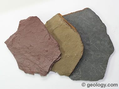
The Fayetteville Formation, also known as the Fayetteville Shale Formation, is a combination of gray/black fine-grained limestone along with layers of shale. Shale is a soft sedimentary rock that breaks easily in flat surfaces. It is made up of fine grains of clay, mud, or silt which is made up of several minerals, especially quartz and calcite. Sometimes shale contains kerogen, a type of organic matter that yields oil and gas. In the State of Arkansas, the U.S. Energy Information Administration estimates that the 5,853 square miles of shale may hold up to 13,240 billion cubic feet of unproved, technically recoverable natural gas. The average well in Arkansas is estimated to produce 1.3 billion cubic feet of natural gas. Any natural gas within this formation in the northern part of Arkansas is simply leaked out due to it being near/at the surface, and from the rocks being weather-fractured as you can view from these coordinates.

To log this EarthCache, you must do the following and email us your answers. You can go ahead and log your find, (i.e. you don't need to wait for permission) but if we don’t think you have honestly completed the required tasks we will delete your log (after emailing you first of course). Do not post answers or a photo of this formation in your log or your log will be deleted. There is no informational sign. You will not need any special equipment other than your GPS to arrive at the coordinates. There are no street lights so it will be hard to see this formation in it's entirety at night. We recommend that you stay on the west side of the highway as this formation is best viewed from a distance. Please don't climb on the rocks.
Questions:
1. At the coordinates, estimate the greatest thickness of the top formation. Which direction is thickest, north or south?
2. What color(s) are the lower layers? How are the colors/layers separated?
3. In your own words, explain the differences you see of both formations.
4. Do you see any evidence of erosion?