White river scenic overlook

Basic river erosion

Source: Photo
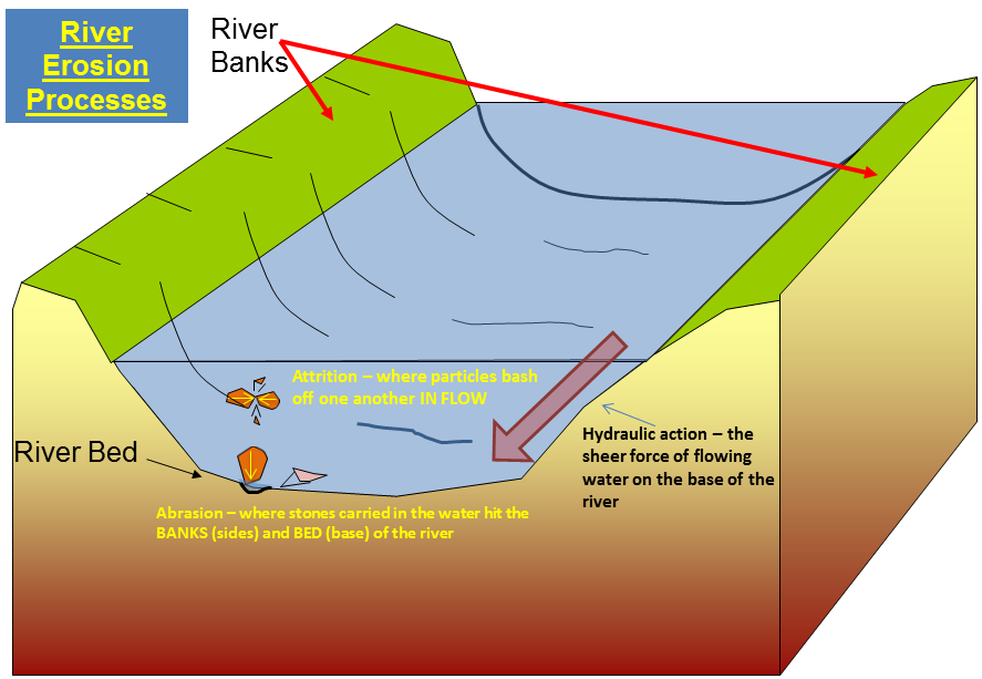
Rivers and streams are moving bodies of draining water, which have a tremendous amount of force. Because of their strength, streams and rivers can cause great amounts of erosion.
Dirt and dust are carried away in the water of the river, leaving only pebbles and rocks. The rocks are constantly smacking into one another, as the force of the river moves them about. This causes them to be continually breaking into smaller and smaller pieces.
Rivers have been known to carve deep canyons in the bedrock in only a few hundred thousand years.

Source: Photo
Deposits
As rivers carry dust, pebbles, and rocks downstream, this material is eventually deposited at some locations further down. These deposits form at bends in a river, as well as in locations where rivers dump water into lakes.

Source: Photo
**Logging requirements**
DO NOT POST ANSWERS IN YOUR LOG.
Send the following answers to me via email.
- The text "GC4PN8T White river scenic overlook" on the first line
- What is the elevation at ground zero?
- Look at waypoint “Island” this island has an elevation reading of 700 feet. Using your previous GZ elevation reading how high is the cliff you are standing on?
- Look at the base of the post at waypoint “Post” fill in the blanks
O____A
G 11/30
- What is the distance of river cut here? Stand at waypoint “post” and using your GPS measure the distance to waypoint “Wide” at this waypoint is where the elevation reads the same as Ground zero.
- What kind of man-made river erosion control can you see from ground zero?
| I have earned GSA's highest level: |
   |