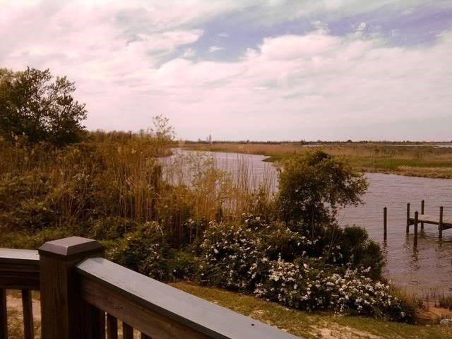
5 Rivers: The Mobile-Tensaw River Delta EarthCache
5 Rivers: The Mobile-Tensaw River Delta
-
Difficulty:
-

-
Terrain:
-

Size:  (other)
Related Web Page
Please note Use of geocaching.com services is subject to the terms and conditions
in our disclaimer.
This Earthcache has been listed to show the significance of the Mobile-Tensaw river delta. Congratulations to Bermudian for FTF this Earthcache.

The Mobile-Tensaw river delta is the blending of 5 separate rivers that come together and flow into Mobile bay. The Mobile-Tensaw river delta covers approximately 250,000 acres which makes it the second largest river delta in the country. Of that, 185,500 acres are Federal and state lands.
The Mobile-Tensaw river delta includes parts of Mobile, Baldwin, Clark, Washington, and Monroe counties in southwest Alabama. The Delta is home to many plants and animals including over 500 plant species, 300 birds species, 126 fish species, 46 mammals, 69 reptiles, 30 amphibians and countless insects. Many different ecosystems exist throughout the vast acreage of swamplands, open water, bottomland forests, marsh and marine estuaries.
During the last ice age (about 18,000 years ago), water levels in the Gulf of Mexico were hundreds of feet lower and the coastline approx 60mi further south than today. The delta during this time was a long river valley, in which many small inland streams joined to create.
As temperatures rose, as did the sea levels due to the melting glaciers causing them to reach their current levels just over 2000 years ago. The Gulf waters and Mobile bay now cover much of the ancient river valley and it’s streams.
The Mobile River is the Southern-most river channel of the Tennessee- Tombigbee waterwpay.

Many small streams interconnect delta rivers resulting in constant erosion and redistribution of sediments deposited by former streams. Many delta streams develop meander channels, these streams constantly shift positions and sections of old channels are filled with sediment or become isolated lakes called oxbow lakes.
Humans have called the delta home for more than 5000 years. The Delta gave these peoples many natural resources as well as food to survive. The Earth mounds near bottle creek were built by Indians of the Mississippian period, as the Mississippian era declined, others moved into the area, including the Mobilians, the Alabamas, the Taensas, the Creeks and Choctaws. As you see the rivers and lands now bear their names.
The Delta remains a strong subject with environmentalists and developers. Dams and levees on the rivers far to the north threatening the natural flow of the rivers and the development of the causeway threatens the deltas natural esthetics.

About 5 Rivers Facility:
The coordinates take you to the 5 Rivers Delta Resource center, open from 8am to 5pm, 7 days a week except major holidays. 5 Rivers is a facility of the State Lands Division of the Alabama Department of Conservation and Natural resources. It is difficult to get a good idea how large and diverse that the delta is. So the 5 Rivers facility has welcomed geocachers to learn more of the surrounding delta.
E-mail the answers to these four questions and a pic of your choice with one of the following. Take a pic with the large binoculars and the river delta in the backround. Or a pick of the Bear, Turkey, Wild pig or alligator in the Apalachee exhibit hall. (on your left from the posted coordinates. I prefer you were in the pic holding your GPSr like this (but not required):

1-Name the five rivers that officially make up the Mobile-Tensaw river delta.
2-What decade did William Bartram explore the delta?
3-What five counties does the delta reside?
4-The Mobile-Tensaw watershed drains water from which four states?
YOU MUST E-MAIL ME THE ANSWERS TO THESE QUESTIONS WITHIN A TWO DAYS OF YOUR LOG HERE OR IT WILL BE DELETED.
YOUR STATS CAN BE AFFECTED.
Information for this earthcache has been found from several sources.
5 Rivers Delta Resource Center
http://www.encyclopediaofalabama.org/face/Article.jsp?id=h-1201

Additional Hints
(No hints available.)