The Challenge:
1- To learn and understand what townships, ranges, sections, and
quarter sections are. (how to identify them, and how to convert
them to GPS coordinates).
2- To find a cache in each township in Utah County.*
A little Background:
Before the days of GPS technology many locations were identified
based on townships and ranges, and the section in that
township.
Up until the last few years cave locations were described in tech
notes down to the 1/16 or if we were lucky 1/64 of a township.
Looking at old tech-notes and relocating "forgotten" caves is where
I learned the techniques. This challenge will help you learn these
techniques.
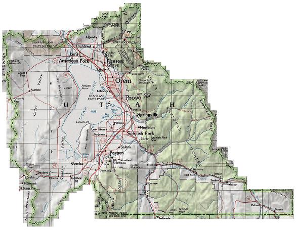
A township is in theory a 6 mile by 6 mile grid. There are many
many exceptions to this rule, but in general that is the case. Each
township is comprised of 36 sections, each section being roughly
one square mile. To further define an exact location sections are
quartered multiple times down the accuracy needed.
Some Useful Links
http://en.wikipedia.org/wiki/Public_Land_Survey_System
http://www.outfitters.com/genealogy/land/twprangemap.html
http://en.wikipedia.org/wiki/Image:Plssinfo.gif
http://www.colorado.edu/geography/gcraft/notes/coordsys/coordsys_f.html
The rules:
-You must find an existing cache placed in each of the townships in
Utah county. (That currently has a cache.)*
-You must identify the 1/16 section the cache is in.
(xx1/4,xx1/4,Sxx,TxxRxx)
-To avoid "dumping" of caches, only caches published prior to
October 12 2007 will count.(unless the only caches in that township
were placed after 10-12-2007)
*If there is not an existing cache in a township simply mark it
as NA in your list. (you can always look at others lists to help as
well)
-For Townships that overlap the county line, only the protion of
the township in Utah county qualifies.
-For Utah County previous finds DO count,(the challenge is finding
the coordinates for the township boundaries, then identifying the
caches in that township.)
-Caches you placed do NOT count.
How to participate:
-Create a list and update it as you work on the challenge. this can
be in the form of a bookmark list, an offline list such as a
spreadsheet, or a note on the cache page.
-Include in your list the date you found the cache, the section and
township it is in, and the 1/16 section of the township.
And finally, find the final cache. It is in the Center of the
S1/2,SW1/4,NE1/4,SE1/4,SW1/4,S20,T7SR1W.** (FYI that is a
10.3125' square.)
**You can convert this description to coordinates by marking it
in a topo program ;(see the hint and/or the useful links above
for instructions how), or if you are lucky you will probably be
able to find something online that will convert it for you.