7 Continents, 7 EarthCaches
An EarthCache is a special geological location people can visit to learn about a unique feature of the Earth. EarthCache pages include a set of educational notes along with coordinates. Visitors to EarthCaches can see how our planet has been shaped by geological processes, how we manage its resources and how scientists gather evidence. Typically, to log an EarthCache, you will have to provide answers to questions by observing the geological location.
Here are 7 Continents, 7 EarthCaches to get you inspired. Ready to go around the world and learn about Mother Earth? Let’s go!
Don’t forget, you can earn your International EarthCache Day 2018 souvenir by venturing out to find an EarthCache on Saturday, October 13 and Sunday, October 14, 2018!
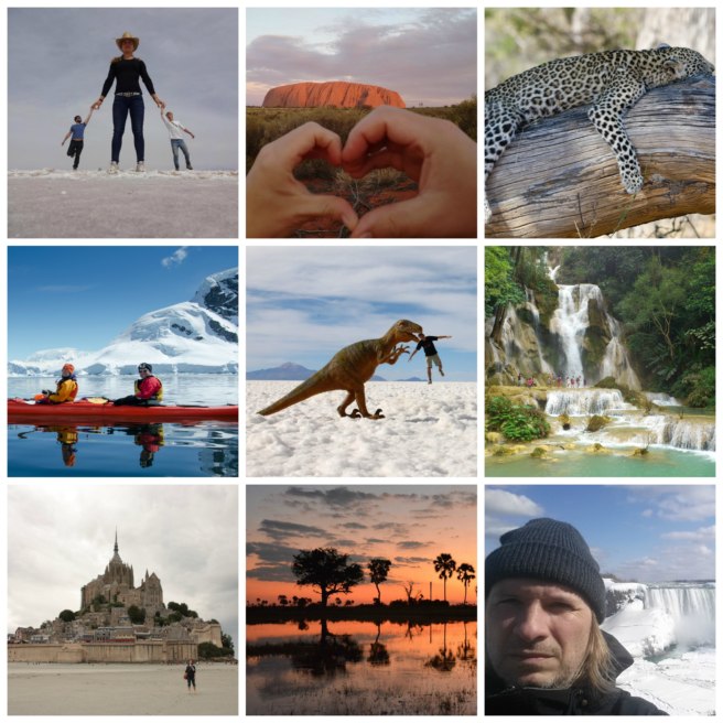
Africa / Botswana
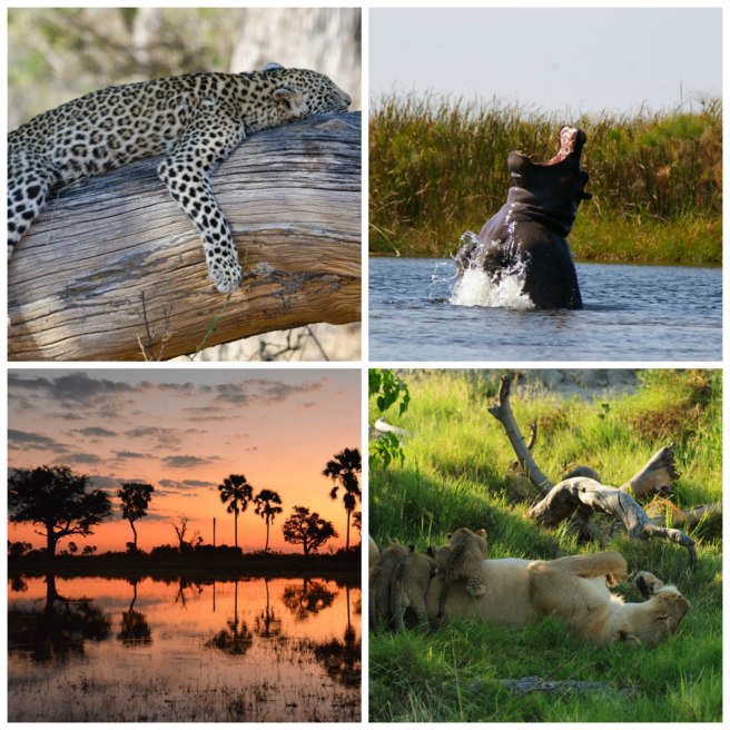
Okavango (GC4P93T)
D2 / T1.5
Learn all about the Okavango Delta in the midst of the Kalahari Desert. Per the Earthcache listing page, “Lying in the midst of the Kalahari desert – the largest continuous stretch of sand in the world – the Okavango Delta is the greatest of Africa’s wetland wildernesses, and among its last.”
Antarctica
Deception Island (GC115ZX)
D5 / T5
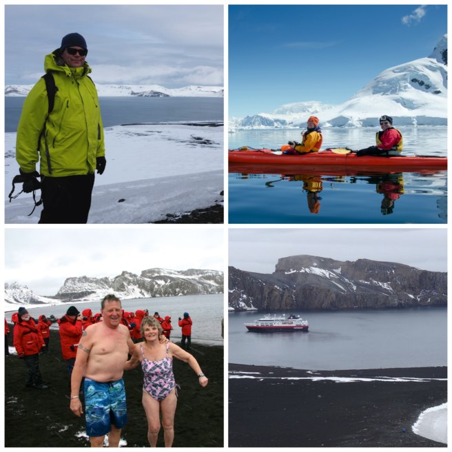
If you are one of the fortunate and adventurous few to journey to Antarctica, one of the high points is a visit to Deception Island. It has a distinctive horseshoe shape with a large flooded caldera and is the rim of a young, active volcano. Make sure you read this sentence in the cache listing page before your visit, “Please be aware it is classified as a restless caldera with a significant volcanic risk.”
Asia / Laos
Kuang Si Waterfalls (GC2HP5Y)
D1.5 / T2
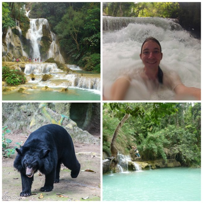
The first EarthCache in Laos is, “…located about 30km from Luang Prabang, this series of waterfalls is a short tuk-tuk ride from town.” To log this cache, consider how waterfalls fall into the different types or classifications, and maybe go for a swim. Now, where did I put my passport…?
Australia
The big inselberg – Ayers Rock (GC3F62F)
D1 / T1
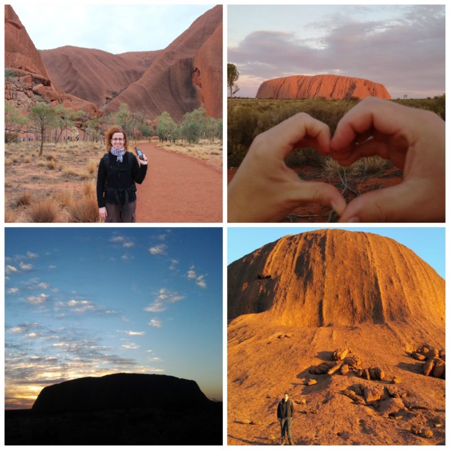
Uluru / Ayers Rock is a large sandstone rock formation in the southrn part of the Nsouthern Territory, central Australia. It lies 335 km / 208 mi southwest of the nearest large town, Alice Springs, which is 450 km / 280 mi by road. Uluru is sacred to the Pitjantjatjara and Yankunytjatjara, the Aboriginal people of the area. The Anangu Aboriginal people are responsible for the protection and appropriate management of these ancestral lands.
Visit. Explore. Learn. Log!
Europe / France
Island or not island ? (GC2E34F)
D2 / T1
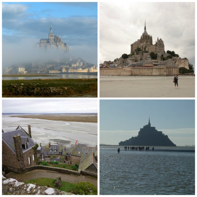
Mont Saint-Michel sits atop an island just 600 metres from land. The island has held strategic fortifications since ancient times and since the 8th century AD has been the seat of the monastery from which it draws its name. It is easily accessible at low tide, but don’t get stuck there at high tide! Learn about the tides and incredible history of this wonderful location.
North America / Canada
Table Rock Earthcache (GCMH1C)
D1 / T1
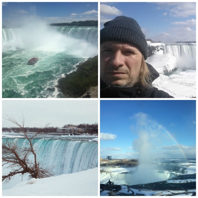
Niagara Falls is made up of three waterfalls: the Horseshoe Falls, the American Falls and the Bridal Veil Falls. It is the second largest falls on the globe next to Victoria Falls in southern Africa. One fifth of all the fresh water in the world lies in the four Upper Great Lakes—Michigan, Huron, Superior and Erie. All the outflow empties into the Niagara river and eventually cascades over the falls. And this geocache is so spectacular, it earned “Geocache of the Week” in January of 2014!
South America / Bolivia
Formation of Salar de Uyuni (GC4M4B4)
D2 / T2
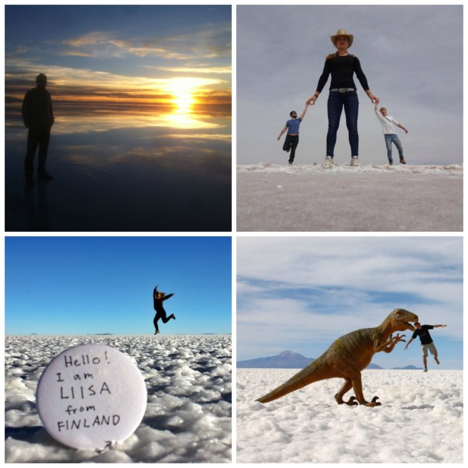
From the geocaching listing, “It is advisable (and optional) to take some interesting and funny photos in the salt flat area and upload with the log. Can you imagine a reason geologically why such photos can be taken there perfectly, e.g. distance, size, element, colour etc.” The photos on this geocache make visiting this place appealing enough, but in addition, you get to “find” a geocache and learn about the Earth? Awesome sauce.
